Witoil

Sorry for the inconvenience but we're performing some maintenace at the moment. If you need you can contact us at witoil@cmcc.it, otherwise we'll be back online shortly!

We'll be back soon!

About Witoil

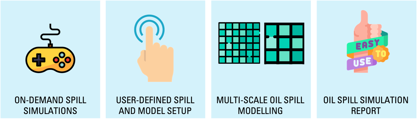
The service consists in an interactive web interface to simulate oil spill trajectory and transformations at sea in the last few weeks and for a next 3-4 days. WITOIL is operational at any time or day of the year. The service is freely available for Research and Education.

Scenarios are configured by the users and simulated using MEDSLIK-II, an open and free oil spill model fully described in De Dominicis et al., 2013 and tested during several real emergencies around the globe. Oil spill simulations can be performed at diverse spatial scales(from coastal to open waters) in WITOIL. Users are offered a list of ocean forecasting fields (Copernicus Marine Service Global and Regional ocean forecasting systems, CMCC Global and Costal ocean forecasting systems) with different geographical coverage and at spatial resolutions ranging from 150m to 9km.

Let's have a look!

Graphic representations of WITOIL GLOBAL simulation results can be visualized on the platform. Surface currents, winds and waves can be evaluated in association with interactive surface and beached oil concentration maps.
All layers can be accessed also through your GIS software.

The CMCC Foundation–GOCO offers support to international organizations, private and institution users, coordinating oil spill response following large accidental spills in the global ocean. Oil spill bulletins describing forecasted spill evolution and impacts are delivered in regular basis during the emergency. Some examples include the Wakashio spill (Mauritius), Baniyas spill (Syria) and others.

Contact Us

Please feel free to contact us at witoil@cmcc.it, if you need any further information. Thank you.